
Redevelopment can fail before design begins when a site is treated as an empty parcel rather than part of a working city. Former industrial land may carry contamination, ageing utility networks, fragmented ownership, protected structures, flood risk, and streets that no longer suit current travel patterns. Architects help turn these constraints into a coordinated spatial strategy that can be approved, built, operated, and adapted over time.
Redevelopment is more than replacing old buildings
Urban redevelopment changes land, buildings, infrastructure, and public space within an established setting. It may involve converting a vacant warehouse or delivering a mixed-use district over several phases. Unlike greenfield development, redevelopment must respond to neighbouring properties, rights of way, transit capacity, utility connections, local character, and the needs of people already using the area.
The architect’s role goes beyond shaping individual buildings. On a well-managed project, the architect connects the development brief with the site’s physical, regulatory, environmental, social, and financial conditions. The work starts with evidence: surveys, planning policy, building records, infrastructure data, environmental reports, and direct observation of how surrounding streets function.
Key differences between redevelopment and new-build expansion
- Existing conditions carry greater weight. Structures, foundations, easements, mature trees, drainage routes, and buried services can directly determine the design.
- Approvals are often more involved. A project may need planning consent, heritage review, environmental remediation approvals, traffic studies, utility agreements, and permits for phased construction.
- Stakeholders are already affected. Residents, businesses, landowners, institutions, and public agencies may all be affected before construction starts.
- Construction must coexist with daily city life. Access, noise, dust, deliveries, emergency routes, and temporary pedestrian movement require active planning.
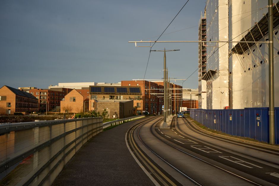
Building the evidence base before committing to a concept
Architects usually begin by testing what a site can reasonably accommodate instead of starting with a preferred building image. This early work may be described as feasibility analysis, site appraisal, or due diligence support. It gives owners and public-sector clients a clearer basis for decisions on acquisition, land use, programme, budget, and phasing.
A detailed appraisal may consider topography, sunlight access, wind exposure, street hierarchy, access points, existing building condition, local housing demand, social infrastructure, utilities, parking requirements, and public transport. On former industrial sites, architects work with environmental specialists to establish whether remediation, soil removal, capping, vapour barriers, or groundwater management will affect the building layout and cost plan.
The process identifies constraints that cannot be negotiated away. A retained sewer may restrict deep foundations; a heritage façade may need structural retention; a narrow street may rule out standard construction deliveries; and a school’s peak arrival times may require a different vehicle access strategy. Addressing these issues at concept stage is usually less disruptive than revising an advanced design after consultant coordination or a planning submission.
Turning policy and community needs into a workable masterplan
At district scale, architects develop a spatial framework for land uses, street connections, building heights, public spaces, servicing routes, planting systems, and development parcels. A masterplan should do more than divide land into building plots. It needs to show how the place will operate at different times of day and through later phases of growth.
Mixed-use redevelopment often requires a careful balance between homes, workplaces, retail, civic functions, education, healthcare, recreation, and green space. Uses that bring activity in the evening may support safer streets, yet they can also create noise and servicing conflicts near housing. Architects test these relationships through layouts, section studies, access diagrams, daylight analysis, acoustic strategies, and operational discussions with future users.
Public realm design is central to this work. Streets, squares, paths, planted areas, and play spaces determine whether a development connects with its surroundings or becomes an isolated enclave. The design team considers pavement widths, crossings, step-free routes, seating, lighting, shade, planting, cycle parking, waste collection, deliveries, emergency access, and stormwater movement. The objective is a place that works in ordinary daily use, not just in presentation images.
Redevelopment can also address inherited barriers. A railway edge, fenced industrial compound, oversized junction, or inactive ground floor may divide neighbouring areas for decades. New pedestrian and cycle connections can improve access to transit, schools, parks, and local services. The broader relationship between low-density expansion and infrastructure demand is examined in our guide to how urban sprawl shapes building design, infrastructure, and long-term costs.
Designing within planning, code, and heritage requirements
Architects interpret the rules governing what can be built and coordinate the specialist input needed to demonstrate compliance. Requirements vary by jurisdiction, but redevelopment commonly involves zoning or land-use controls, height and massing limits, setbacks, fire safety, accessibility, energy performance, parking and loading standards, flood regulations, environmental conditions, and design-review requirements.
Planning approval is not merely a documentation exercise. The design must explain why the proposed density, height, use, access, and public benefits suit the location. Clear drawings, verified data, and a coherent explanation of trade-offs allow decision-makers to assess the proposal. Architects may prepare or coordinate site plans, elevations, sections, verified views, shadow studies, design statements, materials schedules, and responses to agency comments.
Where historic fabric is involved, the task extends beyond preserving an attractive exterior. The team must establish what is significant, assess structural and material condition, identify compatible interventions, and meet current life-safety and accessibility duties. Historic building renovation: investigation, repair, and compliance explains the practical controls needed when existing fabric is retained and altered.
Coordinating technical systems that make a district viable
Buildings cannot be designed separately from the systems that serve them. Architects coordinate with civil, structural, mechanical, electrical, fire, planting, transport, environmental, and cost consultants to align decisions across the project. This is particularly important in redevelopment, where new systems often need to connect to constrained or ageing networks.
| System | Architectural coordination issue | Typical redevelopment implication |
|---|---|---|
| Water and drainage | Levels, drainage routes, planting, basement design | On-site attenuation or flood-resilient design may be necessary where networks have limited capacity. |
| Transport and access | Street widths, entrances, servicing, parking, cycle routes | Loading and refuse collection must work without compromising pedestrian comfort or emergency access. |
| Energy and building services | Plant space, façade performance, shafts, roof areas | District energy connections or electrification can affect massing, phasing, and long-term operating costs. |
| Structure and ground conditions | Grid, foundation type, retained buildings, construction sequence | Unexpected ground conditions can change viable building locations and cost allowances. |
| Digital and security infrastructure | Equipment rooms, lighting, sightlines, access control | Public areas need coordinated measures that support safety without creating hostile or inaccessible spaces. |
The architect’s coordination role does not replace specialist responsibility. It keeps technical decisions consistent with the overall layout, user experience, construction sequence, and planning commitments. Unresolved clashes between services, structure, and architecture can lead to costly site changes, especially where work proceeds around retained buildings or occupied properties.
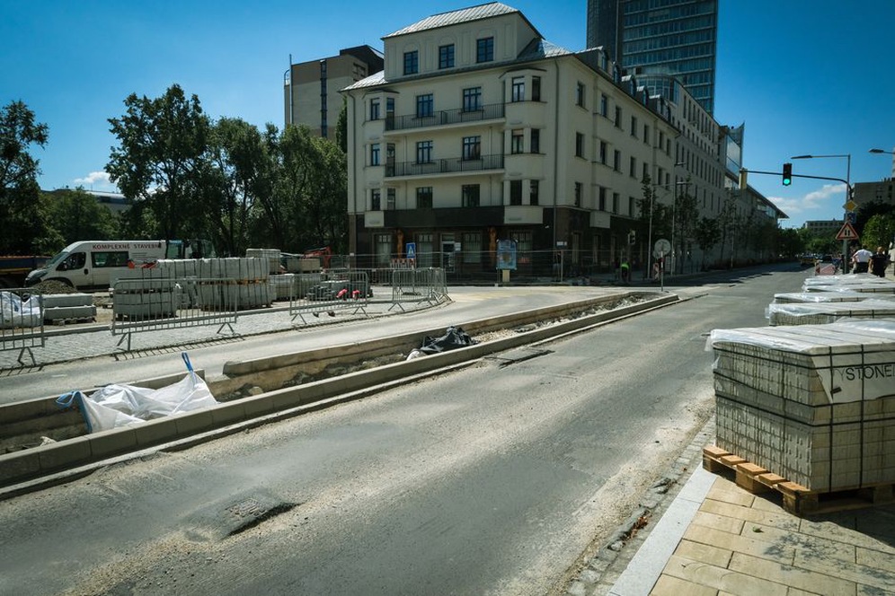
Managing feasibility, cost, and phasing
Urban redevelopment must be designed with financial reality in view. A proposal may be technically possible but unviable if remediation, utility relocation, abnormal foundations, preservation work, public-realm obligations, or temporary works exceed the available budget. Cost planning should start during concept design and be updated as the project is defined.
Architects work with cost consultants to compare options: retaining or replacing an existing structure, building a basement or avoiding one, selecting different façade systems, adjusting structural grids, reducing servicing complexity, or phasing public infrastructure. These are not simply cost-cutting choices. Each option can affect lifespan, maintenance, programme flexibility, embodied carbon, planning risk, and the quality of public space.
Phasing is a design decision, not only a construction schedule
Large sites are often delivered in stages. The architect plans how each phase can operate independently while contributing to the completed district. This may include temporary utilities, safe pedestrian routes, interim planting, accessible entrances, screened construction zones, and locations for future connections. A first phase should not block a future street, occupy essential utility corridors, or leave public spaces dependent on buildings that may not be delivered for years.
In occupied redevelopment areas, phasing may involve decant arrangements, continuity plans for local businesses, temporary service access, and protection of existing homes from dust, vibration, and noise. These issues require cooperation between the client, contractor, authorities, property managers, and community representatives. Early design cannot remove all disruption, but it can make obligations clear and incorporate them into procurement and site management plans.
Representing users and the wider public interest
Architects can help clients engage with affected groups in ways that inform the design instead of simply presenting a completed proposal. Consultation may reveal practical information unavailable through desktop research: unsafe crossings, informal walking routes, drainage problems, service-delivery conflicts, missing local facilities, or periods when a public space is difficult to use.
Engagement is more useful when project information is clear enough for non-specialists to assess. Plans should distinguish between what is fixed and what remains under review. Models, sections, diagrams, translated materials, accessible meeting formats, and feedback records can support more meaningful participation. The architect then considers comments alongside policy, technical evidence, budget, and operational requirements. Not every request can be incorporated, but significant issues should receive a traceable response.
Inclusive design matters especially where redevelopment introduces new routes, parks, community facilities, or housing. Step-free movement, visual contrast, resting points, lighting, acoustic conditions, toilet provision, play opportunities, and clear wayfinding affect whether public spaces can be used by people of different ages and abilities.
Construction oversight and long-term performance
During construction, architects may review contractor submissions, inspect work at agreed stages, respond to technical queries, assess materials and samples, and identify departures from the approved design. The precise scope depends on the appointment and procurement route, but continued architectural involvement can protect critical details such as façade interfaces, fire-stopping, accessible routes, waterproofing, drainage falls, and public-realm finishes.
Redevelopment projects also require disciplined handover. Building managers need accurate records, operating manuals, warranties, maintenance information, testing results, and drawings that reflect the completed work. In mixed-use or phased districts, responsibility for shared infrastructure and public spaces must be clearly defined. A drainage system, energy centre, access road, or planted courtyard can fail in use when ownership, maintenance funding, and response procedures are unclear.
A final review should compare completed work with commitments made during planning and design: public path widths, accessible entrances, tree planting, active ground-floor uses, cycle storage, energy measures, and retained heritage features. Recording these items in a close-out schedule gives the client, operator, and approving authority a practical basis for inspection before the final phase is accepted.