
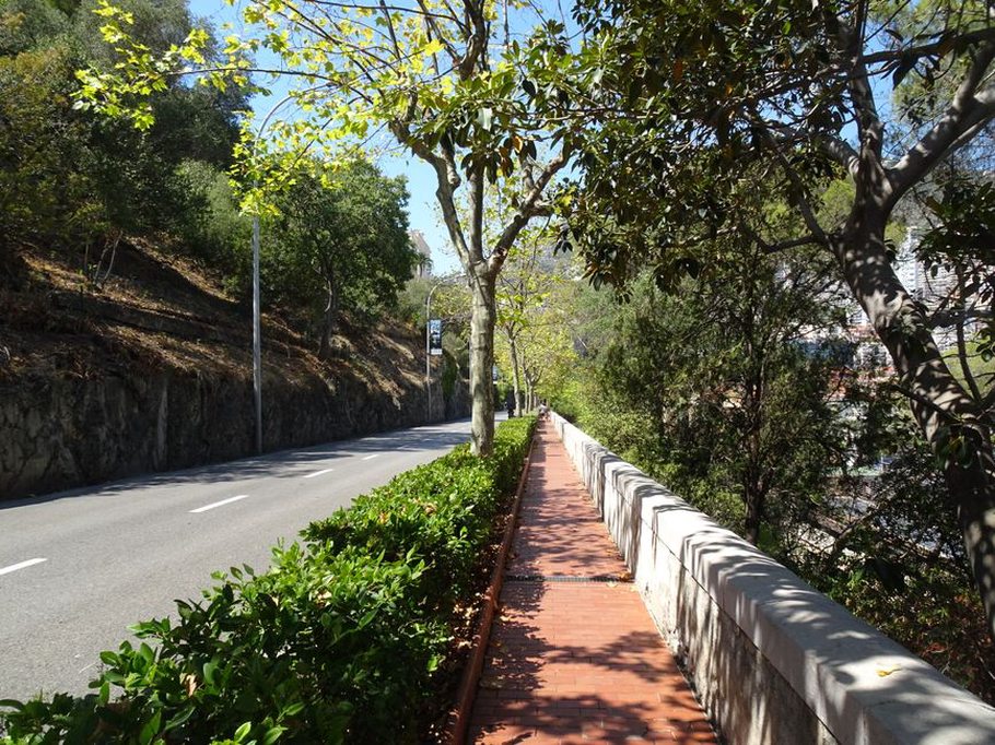
A street plan may show a generous green strip, yet leave nowhere for a row of trees to grow. Roots need usable soil; buried utilities need clearance and access for repairs. If those requirements surface only after the street section is fixed, the trees may end up in shallow planters—or disappear from the scheme. Bringing planting into urban planning early gives it a chance to shape the street rather than simply decorate it.
Landscape architecture addresses the land and outdoor systems around buildings: streets, parks, courtyards, waterways, planting, grading and pedestrian routes. At the urban scale, those elements must connect across property lines and infrastructure corridors. The decisions affect development capacity, public access, drainage, construction cost and maintenance long after completion.
Turning urban objectives into spatial requirements
A city plan might call for a cooler, more walkable district. The project team then needs to ask where shade will fall when people use a route, whether trees can get enough soil beneath the pavement, and whether a crossing lines up with a school entrance. Other space must remain clear for emergency vehicles, drainage and accessible circulation.
Answers to those questions determine how land is allocated. A planted route between a transit stop and housing cannot be assembled from isolated patches left after building footprints are set. A public square needs room for daily movement and servicing, not just events. Planning these spaces at the master-plan stage allows the team to reserve workable dimensions before roads, parcels and utility easements become difficult to change.
Water, heat and habitat at the district scale
Drainage is a network, not a site feature
Rainwater follows the ground, not parcel boundaries. Landscape architects and civil engineers identify flow paths, low points, soil conditions and discharge limits, then consider where planted drainage features, detention areas or permeable surfaces could serve a wider catchment. Such measures do not automatically replace hydraulic calculations or underground drainage. Their performance depends on rainfall assumptions, infiltration rates, groundwater, available space and maintenance.
A shallow planted basin might temporarily hold runoff while adding to an open space. Its location still has to account for nearby foundations, overflow routes, safe slopes and drainage time. Reserving that space during urban planning is more reliable than trying to squeeze it into a completed parking layout.
Shade and ecological continuity require room
Planting can reduce sun exposure along selected routes and surfaces, but choosing the right species is only part of the job. A useful tree canopy needs soil volume, water, room to grow and protection during construction. Building form affects shade and wind too, so architectural and landscape teams need to assess outdoor comfort together. The relationship between buildings and climate is explored in climate-responsive building design.
Habitat planning also extends beyond individual plots. Connected planting along streets and waterways generally gives wildlife a more coherent route than scattered beds. Its ecological value, however, depends on local species, soils, light and management. In a dense district, a modest planting network that can be maintained may be more credible than calling every planted area a biodiversity corridor.
Coordinating access, utilities and public use
A boulevard has to accommodate pedestrians, cycles, loading, drainage inlets, lighting, utilities and tree roots—sometimes within a narrow strip. Landscape architects help coordinate the space these systems need above and below ground. A section drawing can reveal what a colored master plan misses: a proposed tree directly above a sewer, for example, or seating within the clearance required for vehicles.
Grades matter just as much as lines on a plan. The shortest pedestrian route may be unusable if it requires steps or an overly steep slope. Teams should check routes against applicable accessibility standards, including surfaces, crossings and connections to building entrances. At the edge of a district, these details can decide whether a nominally public courtyard is easy to reach.
Before fixing an open-space layout, the planning team can review:
- Ground conditions: levels, soil, contamination history, groundwater and existing vegetation.
- Movement: walking routes, crossings, servicing, emergency access and accessible gradients.
- Infrastructure: utility corridors, drainage connections, easements and room for repairs.
- Use: likely daily users, peak demand, visibility, lighting and competing activities.
- Operations: irrigation, planting care, cleaning, seasonal access and who will be responsible for each space.
From master plan to approvals and construction
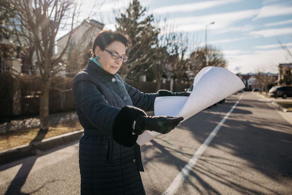
The information landscape architects provide changes as a project progresses. Early options set a spatial framework and identify land to protect for drainage, access or mature planting. Design development tests grading, materials, planting conditions and connections to structures. Construction documents define buildable details, specifications and responsibilities. Each decision needs an appropriate level of detail: a concept drawing can reserve a tree corridor, but it cannot establish whether trees will grow above a basement slab without checks on soil depth, loading and drainage.
Approval requirements depend on the jurisdiction and site. Authorities may review tree protection, stormwater management, accessible routes, public-realm standards or protected landscapes. Checking those requirements early can avoid a late redesign and clarify which commitments belong in planning conditions and which details can be settled before construction.
Costs continue after installation. A water feature, extensive seasonal planting or intricate paving may fit the construction budget yet demand more staffing and replacement spending than the future operator can support. Simplifying an element may be sensible; cutting the soil or drainage it depends on is usually a false saving. Designers and owners should establish who maintains each space, including public-looking areas on private land.
Measuring whether the plan can work
Rendered greenery is not enough to test a proposal. Useful checks include the length of continuous accessible routes, room for tree roots, runoff volumes under agreed design storms, shade at relevant times and access for maintenance crews. These are not universal targets: a dense transit street and a floodable park have different jobs. They do make trade-offs visible while the layout can still change.
For a redevelopment block, a coordinated section from the building frontage to the roadway is a practical test. Put finished levels, the accessible path, tree soil, drainage, utilities and the basement edge on the same sheet. If they cannot coexist in that section, revise the block layout rather than leaving the conflict for the planting contractor to resolve on site.