
A building can be a short walk from a transit stop yet awkward to reach. Its entrance might face a vehicle drop-off, its service driveway cut across the sidewalk, and its bicycle parking sit behind a locked loading area. The last few metres become the hardest part of the trip. This boundary between building and street is where architectural decisions meet urban mobility.
Transport planning deals largely with networks: routes, service frequency, crossings and street capacity. Architecture works at the scale of entrances, ground-floor uses and the space shared by deliveries and people arriving on foot. Neither can solve the whole trip alone. A well-designed frontage cannot make up for a missing crossing, but it can keep an existing crossing from leading people to the wrong side of the building.
Start with trips, not a preferred mode
Before fixing the site layout, establish who will travel to the building, when they will arrive and what they will carry. A residential scheme has regular trips by occupants, as well as visitors, deliveries, waste collection and maintenance. A clinic adds patients who may move slowly or need assisted drop-off. A school concentrates arrivals into short periods; a mixed-use building may have morning deliveries alongside office arrivals and retail activity later in the day.
A practical brief records the main approach routes and operational needs:
- People: expected users, peak arrival periods, step-free access needs and likely origins.
- Vehicles: service vehicle sizes, collection frequency, emergency access and necessary short-stay stopping.
- Connections: existing crossings, transit stops, cycle routes and accessible paths beyond the property line.
- Constraints: level changes, utilities, legal boundaries, sightlines and approvals needed for changes to the public street.
These are architectural questions as much as traffic questions. The answers affect core positions, ground-floor rooms, doors, canopies and loading bays. It is easier to settle them before the floor plan hardens than to force every arrival through a lobby designed without them in mind.
The entrance is part of the route
An entrance visible from the main pedestrian approach avoids detours and helps visitors find their way. But visibility is no excuse for leaving people to queue on a narrow footway. Schools, venues and public offices may need room for people to pause without blocking passersby. A recessed doorway can provide it, although a deep or poorly lit recess may be difficult to supervise and harder to spot from the street.
Level access extends well beyond the threshold. A step-free entrance is of limited use if the route from the crossing has a steep crossfall, an obstructed curb ramp or a gate that closes after office hours. Check gradients, clear widths, resting points, surface drainage and door operation against applicable accessibility requirements. Where the public route and site are at different levels, working through the change in section early can prevent a late choice between an awkward ramp and an inaccessible shortcut.
Several entrances may distribute movement better than one monumental entrance in a large building. Check their opening hours and access permissions, too: a connection through a locked secondary door is no public route. Security planning should distinguish control of interior spaces from closure of a useful path across the site.
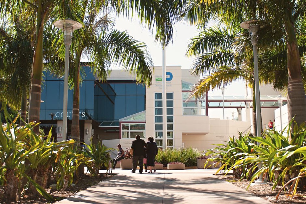
Make ground-floor space support movement
The building edge affects how practical it feels to walk past. Doors, windows and occupied rooms help people orient themselves and bring activity into view. Long blank walls, exposed service yards and ventilation outlets at pedestrian height can make a direct route unpleasant. Retail is not the only answer: a library reading room, residential common room or clearly marked lobby can also give the street an intelligible building edge. Privacy, acoustics and security still need attention in the facade design.
Look closely at setbacks. A forecourt can make room for planting, seating or queues, but it can also lengthen the walk from sidewalk to entrance. Keep furniture and planting outside the continuous accessible route. If the forecourt is meant for public use, its management plan should cover lighting, upkeep, opening hours and snow or debris removal where relevant. Its day-to-day condition determines whether the route works.
On constrained sites, frontage is often the scarce resource. A few metres may have to accommodate the main door, fire access, a loading opening and a utility connection. The ground-floor plan should show what each of those claims does to pedestrian movement, not merely whether the openings fit.
Separate conflicts rather than hiding them
Loading and waste collection
Deliveries and refuse collection are necessary, but their timing and vehicle movements can interrupt a public route. A vehicle crossing a busy pedestrian path creates a conflict even if the driveway looks minor on plan. Test turning paths, sightlines and waiting areas without assuming pedestrians will move aside. Where possible, loading should allow vehicles to enter and leave without reversing across a public walkway; what is feasible depends on the site and local highway rules.
Trace the route inside as well, from the loading point to goods lifts, storage and waste rooms. If it crosses the main lobby, delivery carts may pass through visitor queues. Scheduling can reduce overlap, but it should not be the sole safeguard: tenants and suppliers change. Draw both the vehicle path and the goods-handling path at a scale that exposes these conflicts before approving the ground-floor plan.
Drop-off and emergency access
Short-stay stopping serves different needs. An accessible passenger drop-off, an ambulance approach and a ride-hail pickup are not necessarily interchangeable curb spaces. Dwell times, door-opening space and proximity requirements differ. At a health facility, for example, a short, sheltered route to reception may matter; routing patients across a loading bay would defeat much of its purpose.
Emergency access must meet local fire and building requirements, including vehicle access and designated clear areas. A plaza that looks open in a rendering may obstruct emergency operations if fixed planters, bollards or paving construction block the required route. Where access relies on public land, coordinate with fire authorities and the street authority.
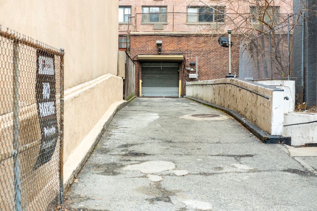
Provide a credible place for bicycles
Bicycle provision is more than a rack count on a schedule. Riders need a clear route from the street to secure parking, with doors, ramps and turns they can use while handling a bicycle. A basement store accessible only by passenger lift may cause queues or discourage use. Leave enough room around racks for ordinary bicycles and, where demand warrants, larger cycles or adapted models. Local standards may specify minimum quantities and dimensions, but the whole route determines usability.
Put visitor parking near the destination without obstructing pedestrians. For longer stays, weather protection and security matter more. Workplaces and some public buildings may also need showers, lockers or changing rooms; those facilities need maintenance and workable access arrangements, not just a label on a plan. A cycle entrance beside the waste collection route may look acceptable on a drawing and perform poorly in use.
Test the site as a set of journeys
Transport counts and modelling can help on larger developments, but a straightforward route audit often reveals architectural problems first. Plot trips from nearby crossings and transit stops to each public entrance, then follow the internal routes to reception, lifts and main destinations. Repeat the exercise for a wheelchair user, someone with a pushchair, a cyclist walking a bicycle, a delivery worker and a visitor arriving after dark. Users will not all behave alike; the point is to find routes that depend on an unmarked turn, a locked gate or a vehicle conflict.
For each trip, record distance, level changes, points of conflict and who controls access. A short path may be unreliable if it crosses privately managed space with uncertain opening hours. A longer one may work well if it is easy to follow, sheltered and consistently available. Observing movement at comparable times can inform the design, though a new building or altered street may change travel patterns.
The surrounding network places limits on what the project can deliver. A developer may be able to improve its frontage but need separate consent to move a crossing, alter a curb or change a bus stop. Early discussions with transport and planning authorities can separate on-site decisions from off-site works, legal agreements and funding obligations. They can also prevent project visuals from showing an approach the permissions do not allow.
Coordinate mobility decisions through design and operation
The architect, transport consultant, landscape architect, accessibility adviser, fire designer and building operator should use the same site plan. At concept stage, compare entrance locations and servicing options before settling the building footprint. During design development, coordinate door swings, curb positions, drainage, lighting and planting details. Before construction, check that temporary works will leave pedestrians a safe route, especially if an occupied building remains in use.
Access can change after opening. A landlord may move reception, tenants may request more deliveries, or security staff may close a gate the access strategy assumed would stay open. Management documents should identify routes that must remain available, where vehicles may wait and who maintains external surfaces. In a multi-occupier building, those responsibilities may need to be set out in leases or operating arrangements, not just architectural drawings.
Take the ground-floor plan to the site and walk from the nearest transit stop to the proposed main door. Mark each crossing, level change, vehicle access point and gate. If the drawn route depends on a crossing that is not there, resolve that discrepancy before fixing the entrance position.