
A building can add thousands of daily trips to a street network well before it opens. Entrance locations, sidewalk widths, loading bays, bicycle storage, parking access, and transit connections all influence whether people arrive on foot, by bicycle, public transport, shared vehicle, or private car. Urban mobility is therefore a core responsibility of architectural and site design, not just transport planning.
For developers, public clients, and property owners, these choices affect planning approval, usable area, operating costs, safety, tenant appeal, and an asset’s ability to adapt over time. The strongest schemes consider movement through and around the site as a connected system, rather than trying to add access solutions after the building form is fixed.
Buildings create movement patterns
Each building type creates a different trip profile. Residential buildings concentrate departures and arrivals in the morning and evening. Schools have sharp arrival peaks. Hospitals need dependable access at all hours, while retail and cultural facilities may attract large pedestrian flows at less predictable times. Architecture shapes how these movements meet the surrounding streets.
A poorly positioned vehicle entrance can cut across a busy footpath and create conflict at the curb. Setting the main entrance behind a large parking area makes walking less convenient and weakens the building’s connection to the street. By contrast, an entrance that faces a public sidewalk, transit stop, or active plaza can make walking the most direct option for short trips.
Early feasibility work should identify likely origins and destinations: transit stations, bus stops, housing areas, schools, employment centers, public spaces, cycle routes, service roads, and emergency access routes. The analysis should account for real walking distances, crossings, slopes, weather protection, and physical barriers such as rail lines or multi-lane roads—not simply straight-line distances on a map.
Site planning is the first mobility decision
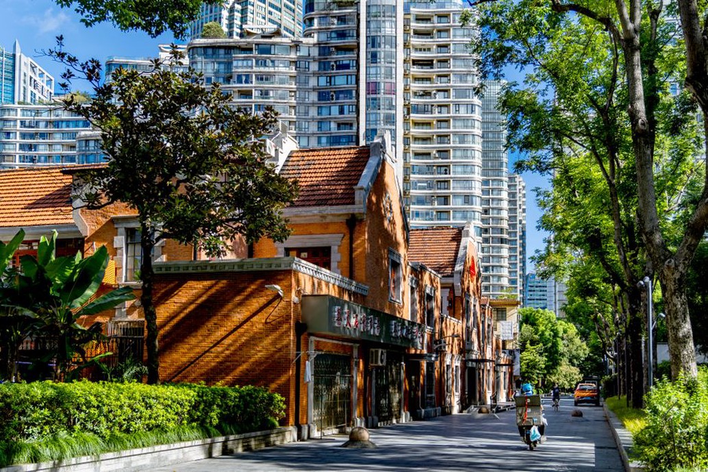
The site plan establishes the hierarchy between pedestrians, cyclists, public transport users, deliveries, and vehicles. At schools, healthcare facilities, logistics-intensive sites, and large residential developments, separating incompatible movements is often essential. This does not necessarily require isolated routes. It means providing clear, legible paths with an appropriate level of protection for each user.
Pedestrian routes should be direct and continuous
People tend to take the shortest comfortable route. Paths that require detours around parking, exposed crossings, steep ramps, or confusing gates are often bypassed. Pedestrian planning should provide:
- continuous sidewalks from the public street to all principal entrances;
- safe crossings where driveways or internal roads intersect walking routes;
- enough width for expected foot traffic, wheelchairs, strollers, and waiting areas;
- lighting, weather protection, seating, and wayfinding where routes are longer or more complex;
- step-free access along the same dignified route wherever practical, rather than through a remote secondary entrance.
Accessible design and mobility planning are closely linked. A curb ramp, lift, platform edge, doorway, or path may comply on its own yet fail in use if the full route includes gaps, excessive gradients, poor drainage, or obstructions.
Cycling needs secure end-of-trip facilities
Cycle access is not resolved by placing a small rack beside a service entrance. Where local cycling conditions support demand, parking should be close to building entries, visible enough to feel safe, and protected from weather where feasible. Larger workplaces, residential buildings, educational campuses, and public facilities may also require secure long-stay parking, cargo-cycle spaces, charging for electric bicycles, lockers, showers, and repair points.
The route to storage matters as much as the storage itself. Cyclists should not have to carry bicycles up stairs or pass through a loading dock to reach parking. On streets with protected cycle lanes, driveway, crossing, and frontage design should maintain sightlines and reduce conflict where vehicles cross the cycle route.
Transit-oriented architecture extends the reach of public transport
Being near transit does not automatically lead to transit use. The walk from a stop or station needs to feel safe, easy to understand, and convenient. Ground-floor transparency, active frontages, lighting, covered walkways, and clear signs can improve the arrival experience, particularly in the evening and during poor weather.
Large developments may need to coordinate with transport authorities on stop locations, turning areas, passenger waiting space, accessible boarding conditions, and future service capacity. Peak demand should be tested rather than assuming existing stops can accommodate additional passengers. A station entrance, bus bay, or pedestrian crossing can become a bottleneck when building-generated flows are overlooked.
Mixed-use development can shorten some trips by locating homes, workplaces, daily services, and community functions within walking distance. It does not remove travel demand. Different uses bring different peaks, servicing needs, and curbside pressures. The relationship between density, public space, and transport capacity is explored in Urban Density: Balancing Growth and Livability in Modern Cities.
Curb space is part of the building interface
The curb is often the most contested part of the street. Within a narrow frontage, it may need to accommodate accessible drop-off, taxis, ride-hailing, deliveries, waste collection, emergency vehicles, short-stay visitors, buses, and cycle movements. These demands should be identified during concept design, before the streetscape is approved.
| Movement or service | Design issue | Typical safeguard |
|---|---|---|
| Passenger drop-off | Vehicles stopping across pedestrian routes | Dedicated pull-in area or managed curb zone with clear crossing points |
| Deliveries | Loading activity blocking traffic or sidewalks | Off-street loading space, timed deliveries, and sufficient turning geometry |
| Waste collection | Bins and collection vehicles conflicting with entrances | Screened storage with an efficient collection route |
| Emergency access | Required access obstructed by landscaping or parking | Verified clear widths, load-bearing surfaces, and operational controls |
Service design is strongly tied to day-to-day operations. Retail, restaurants, healthcare buildings, and residential towers can generate regular deliveries and collections. If loading bays are undersized or badly located, vehicles may wait on public streets, increasing congestion and safety risks. Planning for the vehicle types, delivery schedules, turning radii, dock heights, and storage capacity expected during operation is more reliable than depending on informal curbside activity.
Parking should support, not dictate, the scheme
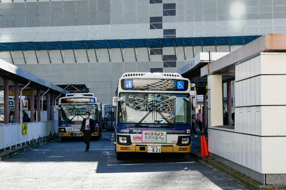
Parking requirements vary by jurisdiction, land use, accessibility needs, and transit availability. They should be checked early against local planning regulations and transport studies. Excess parking can consume valuable site area, raise construction costs, encourage driving, and weaken ground-floor links to the street. Too little suitably designed parking can push demand into nearby streets or create operational difficulties.
Possible architectural responses include shared parking for uses with different peak periods, adaptable parking structures with appropriate floor-to-floor heights and structural grids, electric-vehicle charging infrastructure, and accessible spaces clearly located near entrances. Parking garages also need safe pedestrian routes, ventilation, fire strategy, drainage, security, and clear separation from loading and waste functions.
Use evidence from operations, not only planning assumptions
Transport impact assessments, parking studies, and code reviews provide an important baseline, but their assumptions should be tested against the actual building brief. A medical clinic may have patient drop-off patterns that differ substantially from a typical office model. A university building may require high-capacity cycle storage during term time. A hotel may need coach access and luggage handling that an apartment building does not.
For existing properties, post-occupancy observation can reveal recurring conflicts: queues at a garage exit, inaccessible delivery routes, bicycles locked to railings, or pedestrians following informal desire paths. These findings can inform targeted upgrades before a major redevelopment is considered.
At design review, trace a complete route for each critical user: a wheelchair user arriving from a bus stop, a parent with a stroller, a cyclist carrying equipment, a delivery driver, and an emergency responder. Follow each route from the public street to its destination, including gates, doors, gradients, waiting areas, and points of conflict with vehicles. Where a route depends on informal behaviour rather than a designed condition, address it in the drawings and operating plan.